Vector, Shape & Other Geometric Data
Technical Guides & other documentation
Vector, Shape & Other Geometric Data
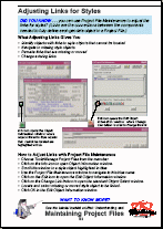
Adjusting Links for Styles
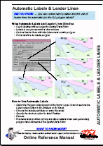
Automatic Labels & Leader Lines
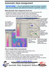
Automatic Style Assignment
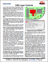
CAD Layer Controls
(3 pp)
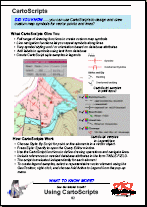
CartoScripts
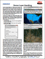
Dense Layer Handling
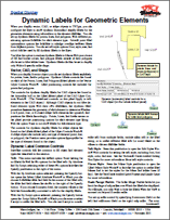
Dynamic Labels for Geometric Elements
(2 pp)
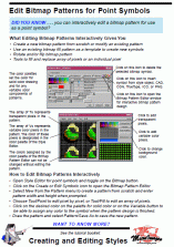
Edit Bitmap Patterns Interactively
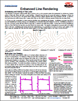
Enhanced Line Rendering
Highlight and Mark Elements in Hidden Layers
Introduction to GIS
(20 pp)
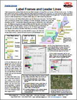
Label Frames and Leader Lines
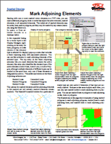
Mark Adjoining Elements
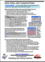
Node Tables with Computed Fields
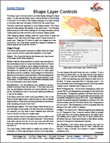
Shape Layer Controls
(3 pp)
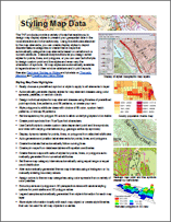
Styling Map Data
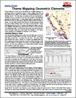
Theme Mapping Geometric Elements
(4 pp)
TIN Layer Controls
(3 pp)
Tutorial: Creating and Using Styles
(28 pp)
Tutorial: Managing Geoattributes
(44 pp)
Tutorial: Theme Mapping
(24 pp)
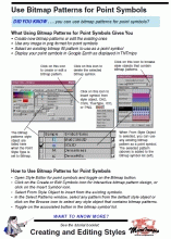
Use Bitmap Patterns for Point Symbols
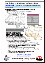
Use Polygon Attributes to Style Lines
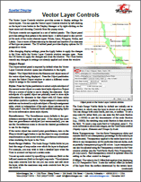
Vector Layer Controls
(4 pp)
Adjusting Links for Styles
Automatic Labels & Leader Lines
Automatic Style Assignment
CAD Layer Controls
CartoScripts
Dense Layer Handling
Dynamic Labels for Geometric Elements
Edit Bitmap Patterns Interactively
Enhanced Line Rendering
Highlight and Mark Elements in Hidden Layers
Introduction to GIS
Label Frames and Leader Lines
Mark Adjoining Elements
Node Tables with Computed Fields
Shape Layer Controls
Styling Map Data
Theme Mapping Geometric Elements
TIN Layer Controls
Tutorial: Creating and Using Styles
Tutorial: Managing Geoattributes
Tutorial: Theme Mapping
Use Bitmap Patterns for Point Symbols
Use Polygon Attributes to Style Lines
Vector Layer Controls